


ABOUT DISTRICT
Tuensang is located in the eastern part of Nagaland. It is bounded by Mon and Longleng Districts in the north and north east respectively, Mokokchung in the northwest, Zunheboto in the southwest, Kiphire in the south, and Myanmar in the east. In the early seventies, at the instance of the Geographical Survey of India in collaboration with the Myanmar Government, 9(nine) RCC pillars touching Tuensang were erected all along the International Border demarcating India and Myanmar. The whole area of the district is 1,728 sq.km (Approximately).

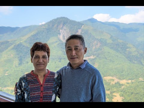
Hon'ble Minister
Minister Name
PUBLIC UTILITIES
EVENTS
There is no Event.